
Do you need any help?
Prefer speaking with our professional engineer? Send us your request and we will connect you with a team member who can help.
Geomatics
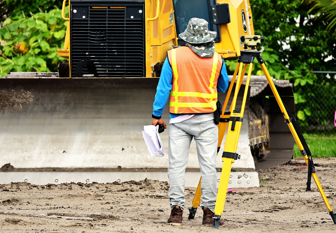
Adapting to the latest technology and tools, we are incorporating them into our modern Geomatics solutions. If your project requires accurate and highly efficient data, then our scanning is a great solution. Integrating traditional methodology with scanning technologies can achieve a higher order of accuracy for critical interfaces and tie-in points.
- Dimensional control
- Topographical & detail survey
- Demarcation survey
- Underground utilities detection
- Unmanned Aerial Vehicle (UAV) - Drones
- Landscape & mapping
- Global positioning system
Why Choose Us
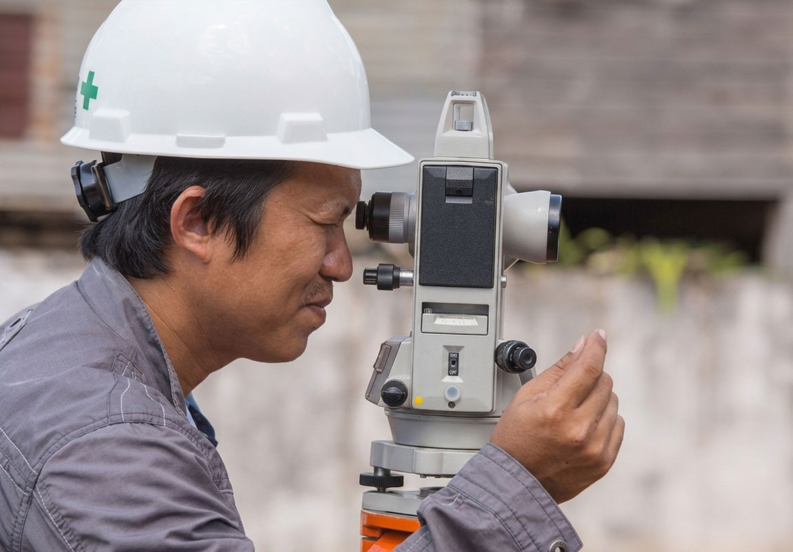
Otimo Energy is committed to helping each client reach their goals and constantly striving to provide solutions. A choice that makes the difference.
- Global know how
- Site support 24/7
- Fast progressive transparency
Professional Team
Our team has more than 40 years of field experience combined and has been successfully completed hundreds of projects globally.
Flexibility Approach
Our approach is distinctly innovative and we constantly seek new ways to increase client visibility and brand value.