Strategic Partnership Delivering End-to-End Digital Twin Solutions
This strategic partnership integrates licensed land surveying capabilities, cutting-edge LiDAR technology, and advanced Digital Plant Engineering into a unified service delivery model.
By combining these specialized disciplines, we provide clients with a seamless and efficient workflow that transforms real-world assets into accurate, intelligent digital representations.
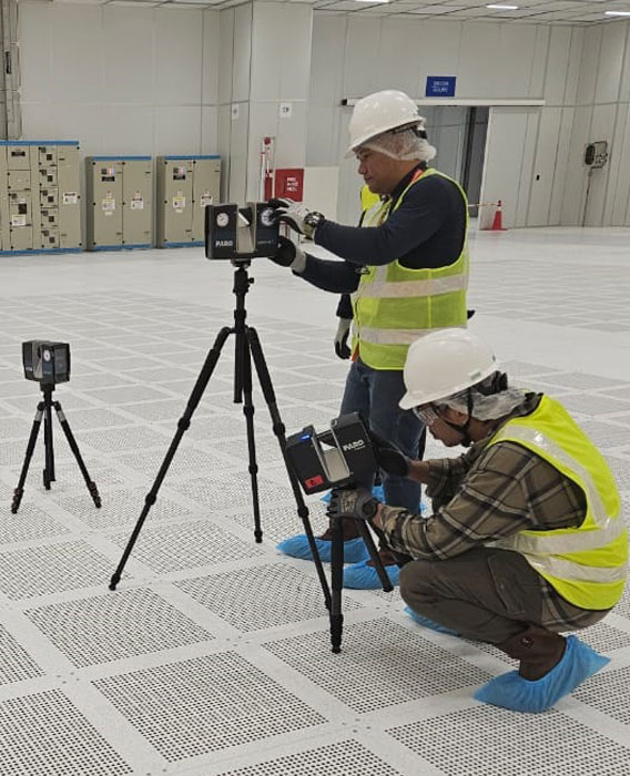
Our integrated approach enables the complete journey from high-precision data acquisition and reality capture to the development and implementation of Digital Twin solutions.
Our Key Value Proposition
Delivering tangible business value through our integrated approach.
End-to-End Delivery
Complete workflow from raw survey data to intelligent 3D models and Digital Twin implementation without handoff gaps.
Risk Mitigation
Precise dimensional control and clash-free engineering designs ensure first-time-fit installation and reduced rework.
Operational Efficiency
Reduced engineering time, minimized hot work, and accelerated project schedules through digital accuracy.
Technology & Innovation
Providing digital ecosystem, immersive tech, and specialized equipment.
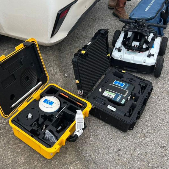
01. Hardware Stack Advance Data Capture
02. Software Suites Process, Design & Analyse
03. Digital Twin Asset Visualization & XR
04. Artificial Intelligence Machine Learning
Key Applications
Minor Engineering - Computational Engineering
Model Development (3D & 2D)
Visualization & AI for Integration & Analytics
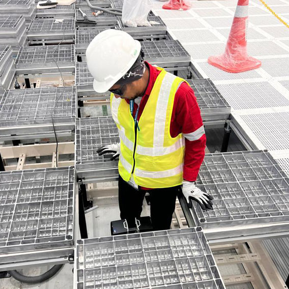
As-Built Capture - Creating Digital baseline
Modification & Retrofit for Upgrades & Expansion
Twinning & Simulation - Optimizing installation
Why Us?
From physical asset data capture to intelligent digital models, we help organizations accelerate digital transformation, reduce project risk, and improve operational efficiency across the entire facility lifecycle.
01. Comprehensive project coverage.
02. Single Accountable team and Proven Track record
03. Deep Industry Expertise & Technology Leadership.
04. Licensed, Certified & Qualified.
Clientele
Our Management Team
Still have questions?
Can’t find the answer you’re looking for? Please contact our friendly team.